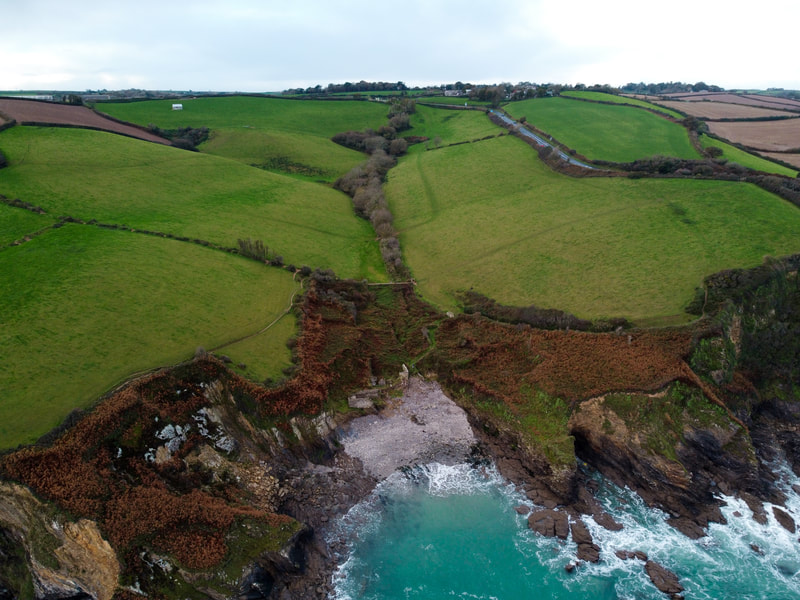
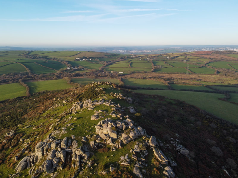
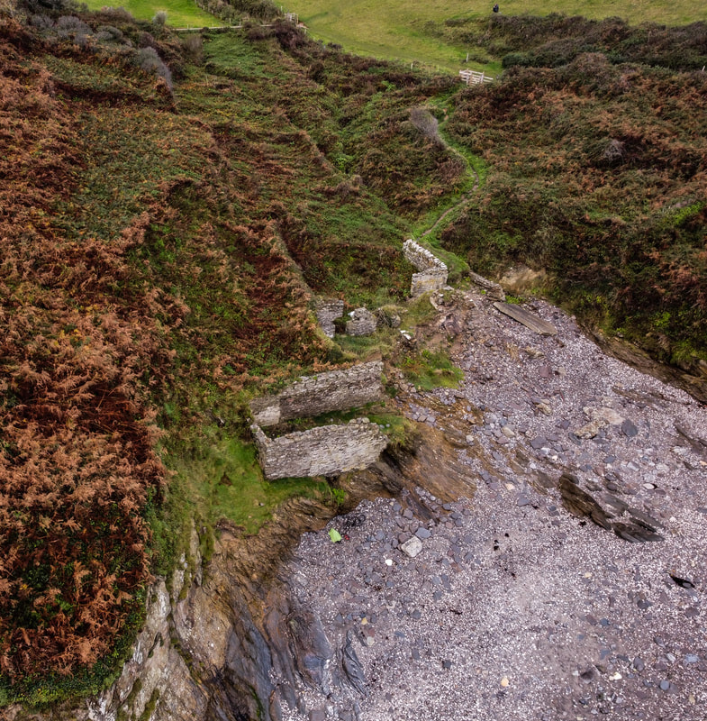
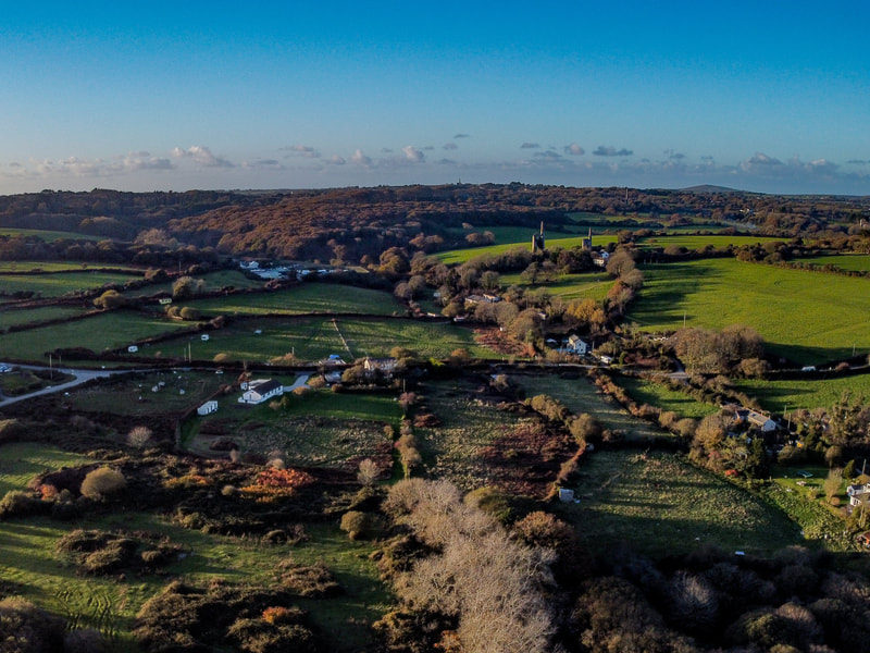
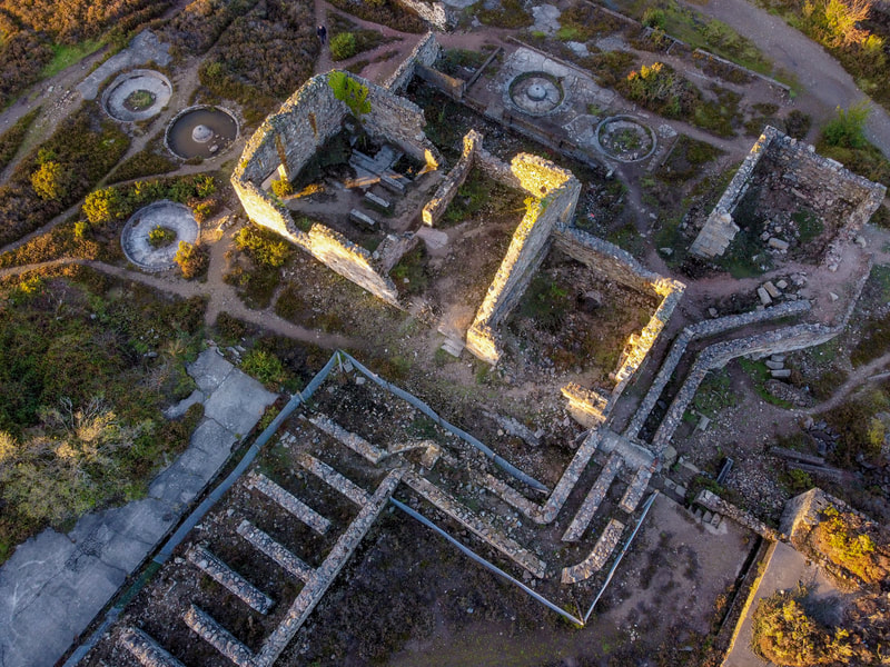
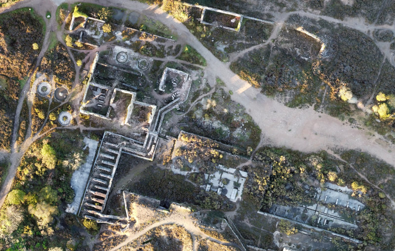
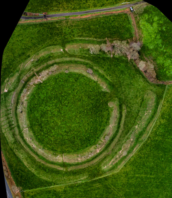
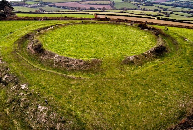
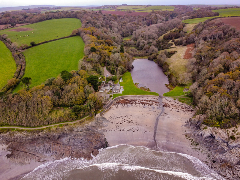
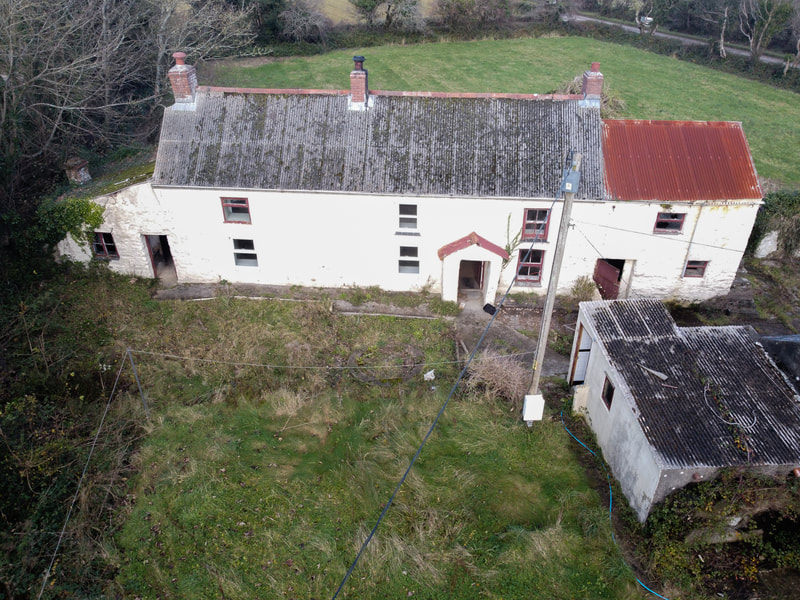
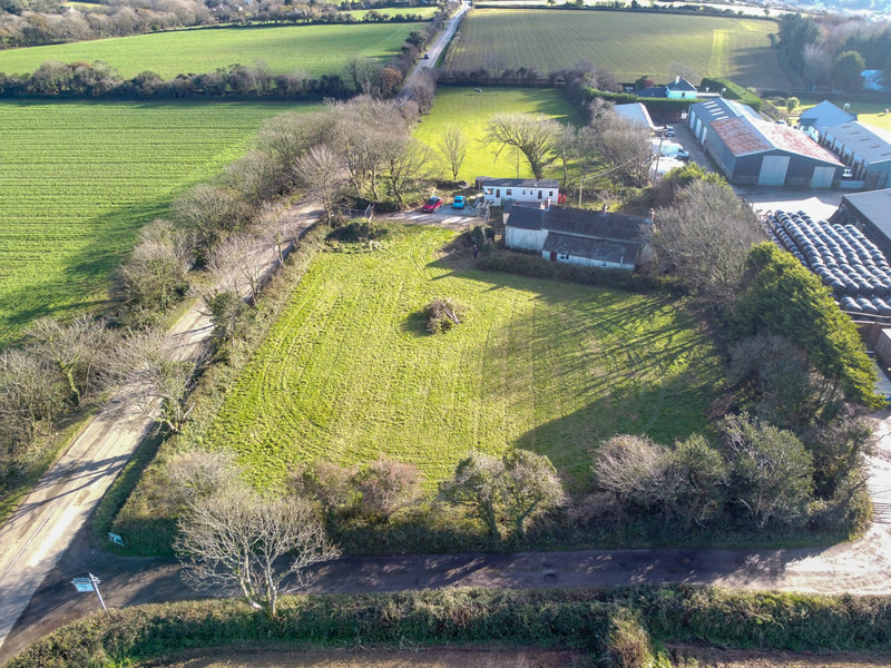
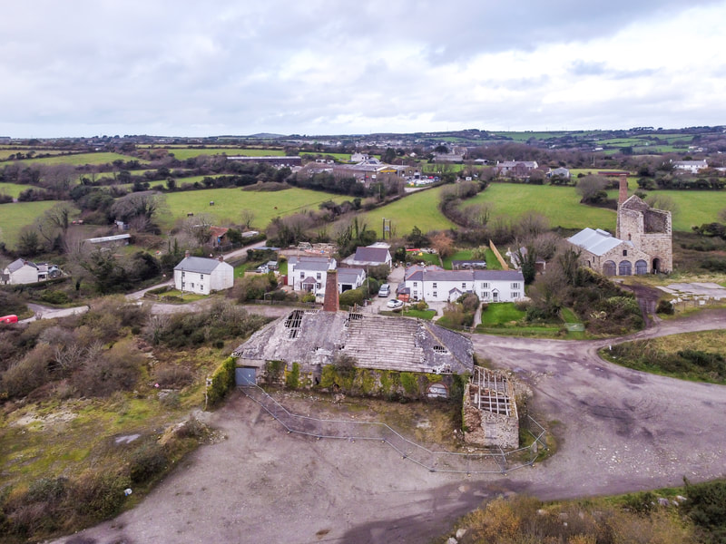
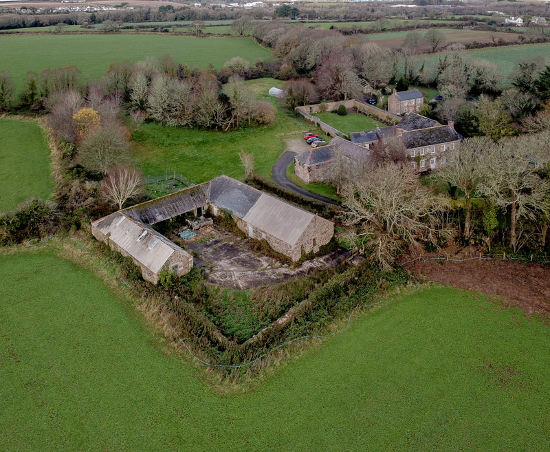
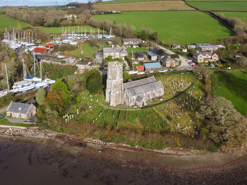
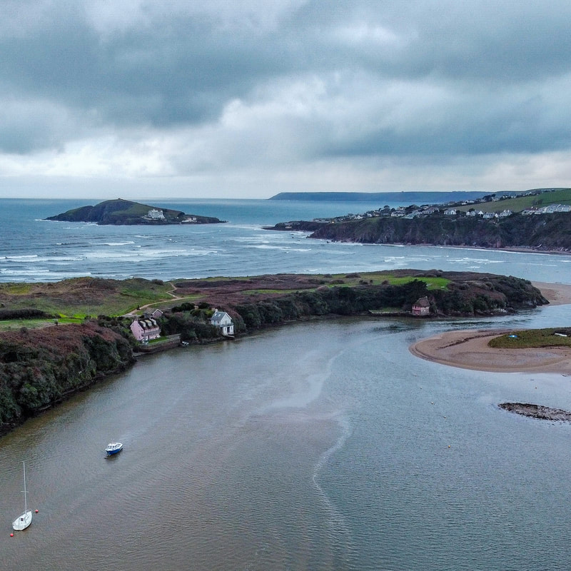
We are now able to provide a range of aerial survey products to our clients using Unmanned Aerial System (drone) technology.
Capabilities:
- Orthorectified photographic mapping and site survey
- 3D point cloud generation and textured 3D mapping using state-of-the-art 'Structure from Motion' technology
- Building inspection and photogrammetry
- Illustrative aerial still and video photography
Daniel holds a CAA approved 'A2 Certificate of Competency' giving clients assurance that aerial operations will be carried out safely, efficiently and according to all regulatory requirements. All our commercial flying is planned in detail in advance, risk assessed and fully insured. Contact us to discuss your requirements.
